1960’s Navajo Trail Fold Out Highway Map
Vintage Navajo Trail tri-fold highway map and travel brochure promoting the Navajo Trail, billed on the cover as 'America's Most Scenic' all-weather highway through the Four Corners region. The cover has the red Navajo Trail road-sign logo over a photograph of the open highway and desert buttes, under the heading 'The Trail They Call The Navajo'.
The outer panels carry photographs of canyon country, desert landscapes and a steam train, with descriptive text about points of interest along the route. Inside is a full road map of the trail with a numbered key to attractions and a mileage table.
Dimensions: Folded 9” by 4”
Condition (9/10) Great Overall: No tears. Some slight edge wear.
Shipping: Paper items ship flat and rigid; bottles are double-boxed. Every parcel is fully insured.
Guarantee: This item is guaranteed to be an original period piece, or your money back. No reproductions, ever.
You May Also Like

Florence Colorado Auto Company Metal Car Tag ca. 1920
Circa 1920
$100.00
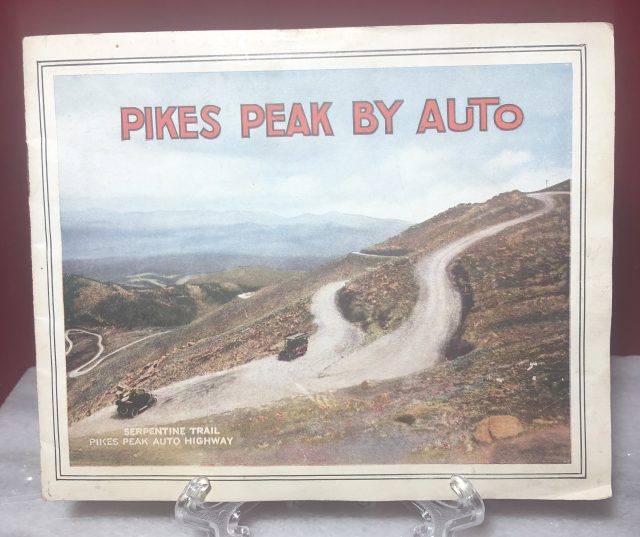
Pikes Peak by Auto Highway Colorado Souvenir View Book ca. 1920
Circa 1920
$30.00
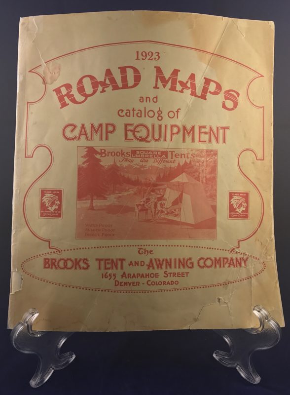
Brooks Tent & Awning Company Road Maps & Catalog 1923 Denver Colorado
1923
$85.00
Denver, Leadville & Pueblo Illustration Booklet
$150.00