LOT No. 0412
Johnson’s Nebraska, Dakota, Colorado, Idaho & Kansas Atlas Map 1864
SOLD
Hand colored map by Johnson and Ward page 63 out of the 1864 Johnson and Family Atlas.
Back of map shows historical and statistical view of the territories. Territory data includes land area, race population and total population.
Condition (8/10) Good Overall. Map has some minor repairs on edges and some tears on the corners. Has not been folded. Back of map has small brown stains near top.
Shipping: Paper items ship flat and rigid; bottles are double-boxed. Every parcel is fully insured.
Guarantee: This item is guaranteed to be an original period piece, or your money back. No reproductions, ever.
From the Catalogue
You May Also Like
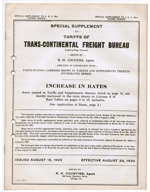
LOT No. 0563
Railway Tariffs of Trans-Continental Freight Bureau Supplement 1920
1920
$25.00
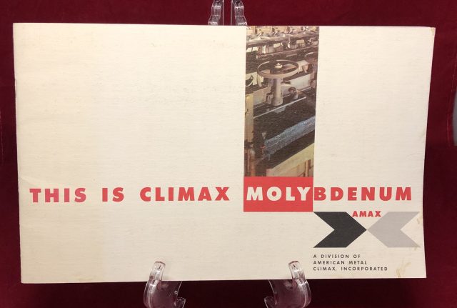
LOT No. 0190
Climax Molybdenum Colorado Mine Brochure and Supplemental Flow Sheet ca. 1960’s
Circa 1960s
$50.00
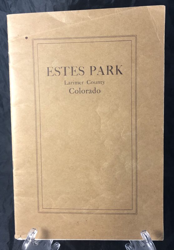
LOT No. 0306
Estes Park by Frank L. Clerc 1914 Information and View Book Rocky Mountain National Park
1914
$145.00
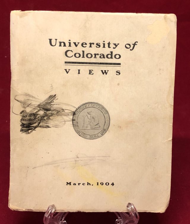
LOT No. 0846
University of Colorado Boulder Souvenir Information Viewbook March 1904
1904
$45.00